In this project, teachers will engage in a collaborative inquiry to explore how spatial technologies such as ArcGIS and Google My Maps could be used to support the revised Canadian and World Studies curriculum, support numeracy skills and increase student engagement.
Team Members
Shannon Simpson
Simcoe County District School Board
Sarah McLeod
Simcoe County District School Board
Penny Chalko
Simcoe County District School Board
Gayle Thurlow
Simcoe County District School Board
Professional Learning Goals
- Became competent in using geospatial technology
- Developed strategies to integrate geospatial technology into classes to support aspects of the revised geography curriculum (and social studies curriculum) such as the Geographic Concepts of Thinking and the Inquiry Process
- Determined ways to support the development of numeracy skills in geography/social studies, as well as increase student engagement
- Identified opportunities to apply spatial technology to support other Canadian and world studies areas (as well as consider application in Social Sciences and Humanities and Environmental Science)
Activities and Resources
The team’s learning was ongoing and included the following learning opportunities:
October 24, 2016 – Learning Day
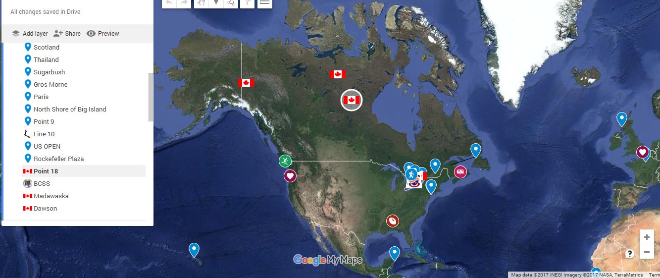
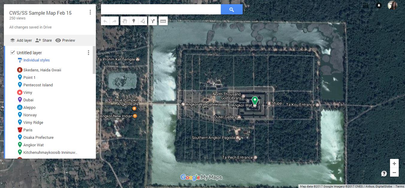
- Getting started with Google My Maps
- Video on “The Geospatial Revolution”
- Exploring applications for Google My Maps in social studies, geography and history curriculum
- Exploring and learning to use Simcoe County Information Technology site
- Getting set up for ESRI ArcGIS
- Completion of:
- ArcGIS Online Six by Six – Ontario (activities)
- Introduction to ArcGIS Online (tutorial)
December 5, 2016 – Learning Day
- Updates
-
- Solving issues with Chromebooks
- Using the Chromebooks for mapping
- Google My Maps
-
- Sharing
- Uses with classes, students
- Updates from BringIT, Together (BIT) Conference
- Our next steps (instructions, how can we share with others, etc.)
- Sharing
- Inquiry and Google My Maps/ArcGIS
April 24, 2017 – Learning Day
ESRI Angela Alexander from ESRI
- Getting students signed into ArcGIS
- Exploring the options available for using ArcGIS
- Data and mapping
- Developing an inquiry question to be explored using data and mapping
- Sharing our learning
Resources:
Chromebooks were used to support the use of geospatial technology
ESRI – online tutorials and in-person support
Videos and articles (see list of resources used)
Unexpected Challenges
Early on in our learning, we were very happy with how easy it was to become comfortable with Google My Maps and to apply this learning in the classroom to support inquiry-based learning. Learning to use ArcGIS was harder and we found it was not as user-friendly for teachers or students. A teleconference with ESRI’s Jean Tong helped to convince us it was worth learning more and that our students could delve deeper in their learning by using the options available through ArcGIS. A day spent with ESRI’s Angela Alexander helped us get further with this learning, although, we still feel we would benefit from more time to learn, practise and implement this technology to support inquiry in the classroom.
Enhancing Student Learning and Development
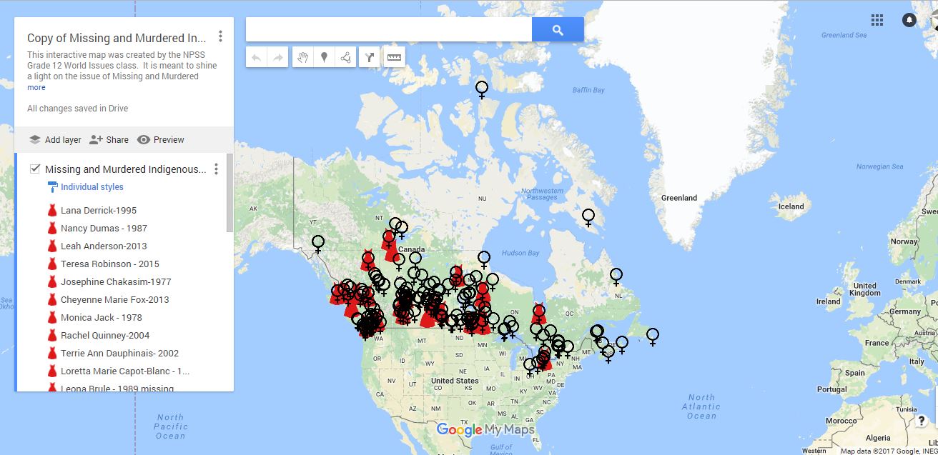
Students were engaged in learning and were excited when they also had authentic audiences to share their work with. Students saw real-world applications for their learning through a better understanding of geospatial technology. They also were able to make connections between data and how decisions are made. A next step would involve students using the technology and either gathering their own data or using existing data to make informed decisions about issues/problems which will hopefully support student agency. In addition to supporting the curriculum expectations, this work also helped students develop learning skills and work habits and 21st-century competencies.
Sharing
Sharing happened (and continues to happen) through formal and informal sharing opportunities including:
- Department Chairs meetings (October and March) – shared with all county CWS Chairs
- Shared through board collaborative inquiries on “Rethinking CWS” and “Inquiry on Student Inquiry”
- Shared through Twitter #SCDSBinquiry and through teacher twitter accounts (e.g., https://twitter.com/MisssMcleod/status/810923999819603968 and https://twitter.com/MisssMcleod/status/808762702357217281)
- Two team members presented at a New Pedagogies for Deeper Learning Conference and both presentations featured recent work done using Google My Maps
- Sharing has happened informally through the teacher librarian role (teacher librarian working with different teachers in the school)
- Sharing has happened through IRT role and through informal sharing opportunities
Project Evaluation
The project was a success in that it helped the team to meet the goals of becoming more competent with geospatial technology; developing strategies to integrate this technology into classes to support revised curriculum; supporting rich inquiry learning; making connections between math and geography (supporting numeracy skills particularly in regards to data); and engaging students. Success was gauged through teacher reflections, observations of students and evidence of student learning. The team was more successful in applications with Google My Maps and is still learning to navigate the more complex applications of ArcGIS. There is still learning to be done in this area. In the future, the team would also look into other ways to measure success.
Resources Used
Link to register for a free ESRI account
Introduction to ArcGIS Online for Teacher Workshops (tutorial)
http://onedu.maps.arcgis.com/home/item.html?id=64f9977985164c7d8815a35b08f78dd9
Introductory Activities – ArcGIS Six by Six
http://k12.esri.ca/resourcefinder/data/files/SixBySixOntario.pdf
Angela Alexander – ESRI Canada, K-12 Educational Resource Developer – [email protected]
Simcoe County interactive map
“Geospatial Revolution” video – Episode 1 (13 minutes)
Visualizing the Past: Mapping, GIS, and Teaching Historical Consciousness by Sasha Mullally and Siobhan Hair
ActiveHistory.ca, July 13, 2016
Is Your Lesson a Grecian Urn? by Jennifer Gonzalez
Cult of Pedagogy, October 30, 2016
Colyer, Jill and Watt, Jennifer. THINQ 4-6: Inquiry-Based Learning in the Junior Classroom. Toronto: Wave Solutions, 2016.
Resources Created
These resources will open in your browser in a new tab, or be downloaded to your computer.